
As global warming leads to higher sea temperatures, it creates favorable conditions for the formation of typhoons. These typhoons have become more frequent and larger in scale in recent years.
The recent typhoon "Dusu Rui" made landfall in Beijing, Tianjin, and Hebei, causing flooding in the region, particularly in certain areas of Hebei, due to extreme heavy rainfall and upstream river flooding, among other factors. As the country rallies to support the affected areas and prioritize flood safety and security, the importance of hydrological monitoring has come to the forefront.
Hydrological monitoring is commonly mentioned in flood disaster news reports, and today we will discuss its significance in ensuring national safety during floods.
What is hydrological monitoring?
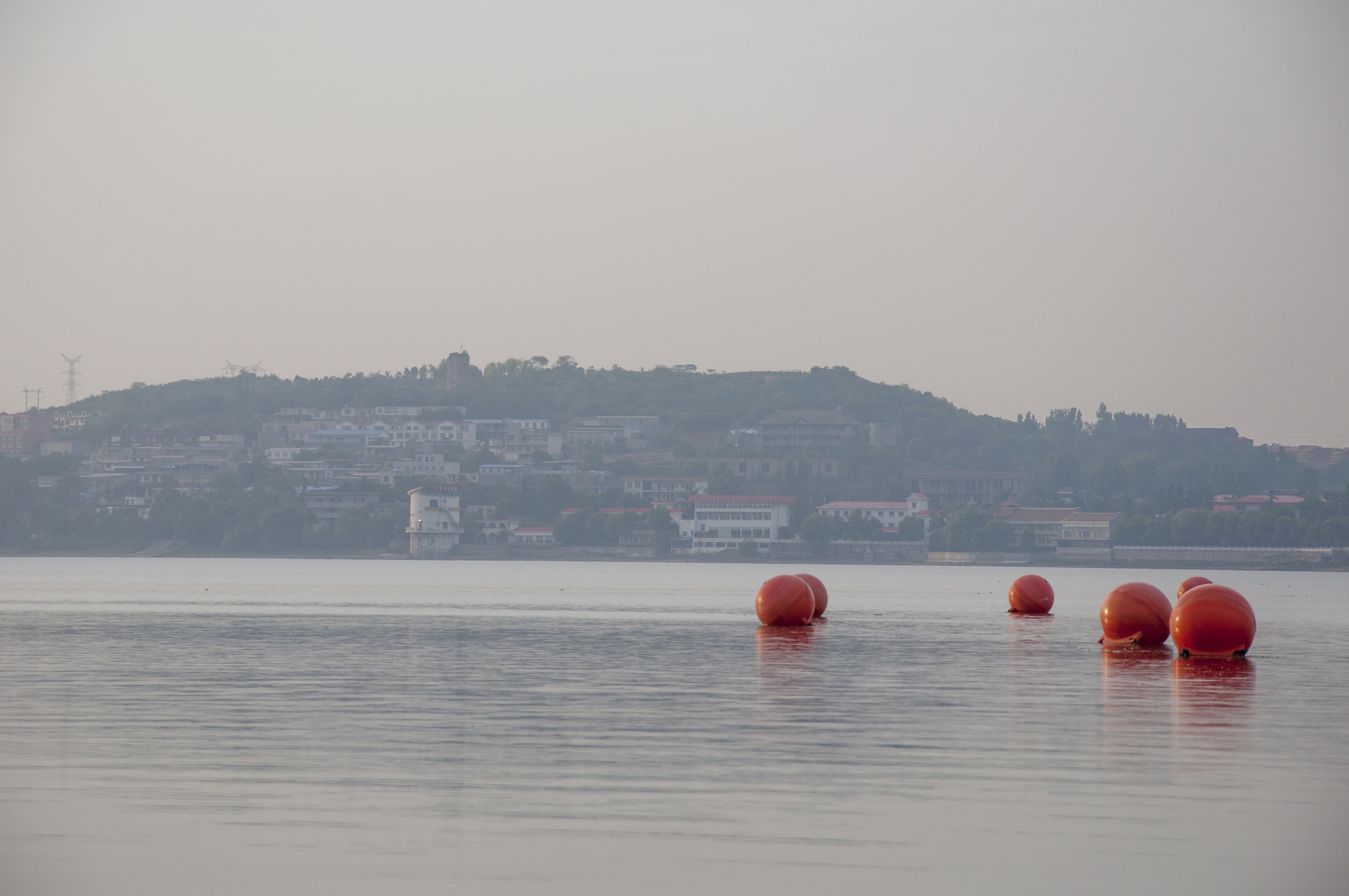
As the name suggests, it is the process of monitoring important indicators of the water system, such as water level, flow, flow rate, and more. It is mainly used in areas near rivers, seas, lakes, reservoirs, canals, and dykes. Hydrological monitoring plays a crucial role in early warning and emergency response.
Before delving into hydrological monitoring, let's familiarize ourselves with a few key indicators. During a flood, the water level of a river rises and flood control measures are implemented. Based on the water level and its threat to the safety of dykes, flood control levels are generally divided into three categories: defense level, warning level, and guarantee level.
Defense level: This refers to the water level at which the embankment enters the flood control stage. It is the point at which the river starts flooding and the flood control management institutions begin their warning activities. Relevant staff members patrol the embankment, assess risks, and make necessary preparations.
Warning level: This is the water level at which there may be dangerous situations. When the water level reaches this point, the flood control department intensifies their alertness. They closely monitor the water condition, work condition, and risk condition, increase embankment patrols, and make necessary preparations for flood control.
Guarantee level: This is the flood level of the embankment designed according to flood control standards or the historically highest flood level that has been successfully defended. When the water level reaches or approaches the guarantee level, flood control enters a state of total emergency, and there is a possibility of danger at any time. During this time, the flood control department conducts thorough inspections and takes all necessary measures to protect the safety of the embankment.
In essence, the significance of hydrological monitoring for flood prevention and mitigation can be divided into three stages: early warning, recommended measures, and post-disaster assessment.
01 Hydrological Monitoring for Risk Warning
02 Hydrological Monitoring for Proposed Measures
03 Hydrological Monitoring for Post-Disaster Assessment
04 Scientific and Technological Level of Hydrological Monitoring
Products Introduction
CWR7100 Large-Range Water Level Monitoring:
CWR7200 Small-Range Water Level Monitoring:
CWR7300 Fully Sealed Water Level Monitoring:
Extreme weather events can cause rapid changes in water levels and water flow. Implementing multi-point real-time data monitoring allows staff to make early predictions and prepare for potential disasters. By setting different stages of warning values and judging the rate of water level growth, there is adequate time to evacuate residents and protect property. Early planning of flood discharge strategies can also help minimize losses.
When designing flood protection facilities, it is important to consider factors such as river characteristics, watershed area, and water level frequency. This information helps in selecting suitable embankment locations and heights that can withstand expected flood impacts. Monitoring hydrological processes and obtaining data on flood frequency, intensity, and spatial and temporal distribution ensures the effectiveness and reliability of the project.
It also helps enhance flood prevention and mitigation efforts. Monitoring the flood process and analyzing the data through hydrological monitoring systems allows for accurate assessment of the intensity, extent, and duration of the flood. This assessment helps analyze the impact of the flood on human society, farmland, and the ecological environment. The assessment results serve as important references for post-disaster reconstruction and the formulation of flood prevention and mitigation policies.
The work of flood prevention and disaster management is more complex than initially imagined. Despite efforts by the government to reinforce dykes and reconstruct rivers, urban areas face challenges due to dense populations and human activities. Factors such as groundwater exploitation, river diversion, beach development, and inter-regional water transfer introduce uncontrollable variables, reducing the accuracy of hydrological monitoring. To improve monitoring, advanced science and technology need to be introduced for efficient, accurate, and intelligent hydrological monitoring.
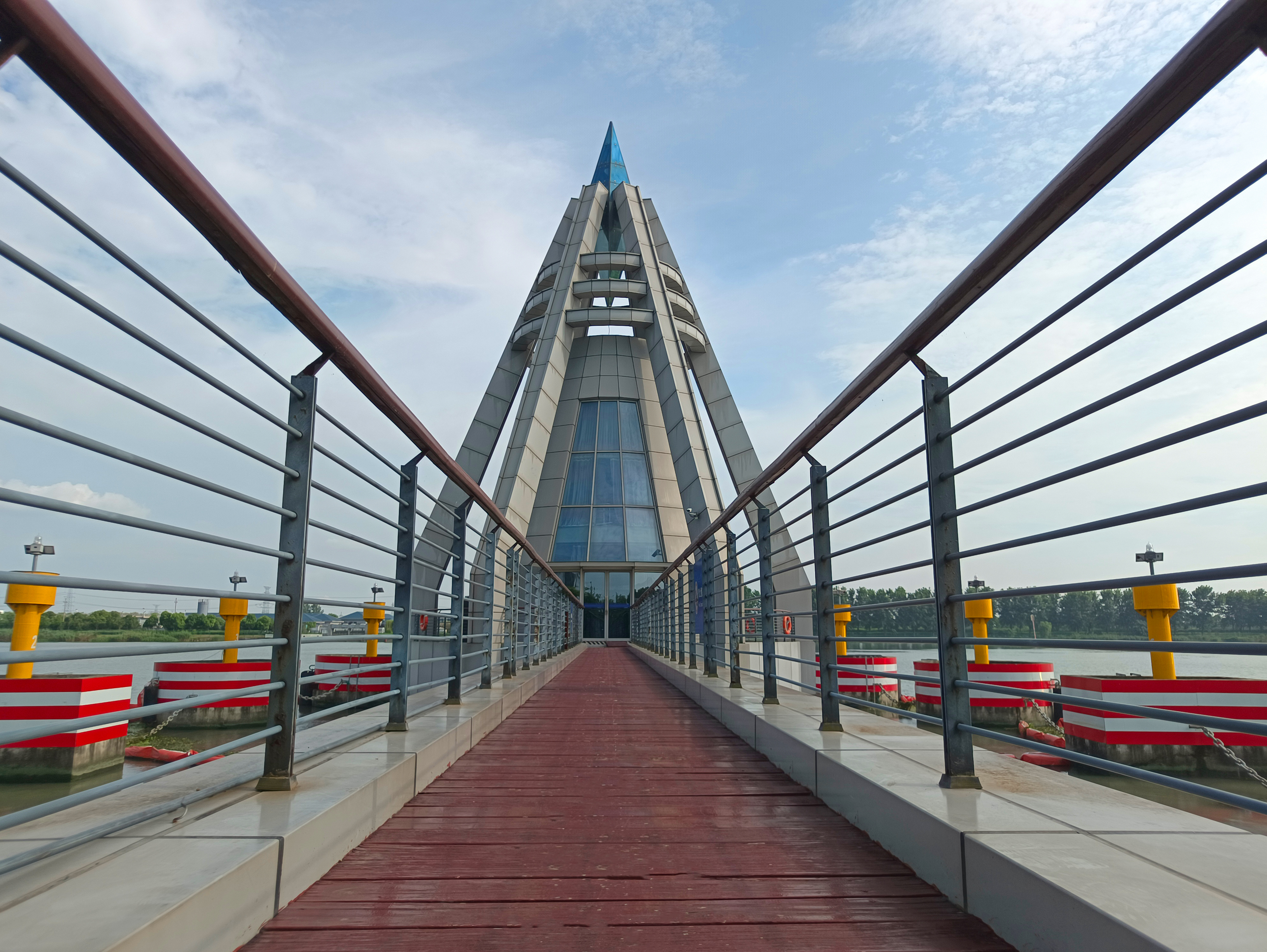
To enhance flood management, it is crucial to establish a standardized flood prevention system that relies on advanced hydrological monitoring equipment. Technologies such as radar, satellite, and image processing have become valuable tools for hydrological monitoring, significantly improving the quality and efficiency of the work.
About RETTAR
As a pioneer in radar level measurement, RETTAR offers a high-tech hydrological monitoring product series and solutions. With extensive experience and strategies tailored to complex hydrological monitoring scenarios, RETTAR can provide customized solutions according to customer needs.
The following are several core products of RETTAR for hydrological monitoring: CWR 7100/CWR 7200/CWR7300
These products cater to large-range water level monitoring, small-range water level monitoring, and fully sealed water level monitoring.
RETTAR offers hydrological monitoring equipment that is divided into three categories: large-range, small-range, and fully sealed, each designed for different application scenarios.
Features a stainless steel horn antenna that is sturdy and durable. Offers a measuring range of 70 meters with an accuracy of ±3mm. Equipped with a plastic horn antenna that is easy to install. Provides reliable and durable performance, with a measuring range of 35 meters and an accuracy of ±3mm. Designed with a fully sealed construction that is IP68 waterproof. Offers a measuring range of 35 meters with an accuracy of ±3mm.
RETTAR, founded 17 years ago, specializes in the development and production of radar-based industrial level meters and 3D visual imaging products for automation measurement and control. With nearly one hundred products developed in-house, RETTAR holds more than 180 technology patents and intellectual property rights. The company has also obtained various international certificates, establishing itself as a reliable partner in China's industrial automation measurement and control sector.
For inquiries about RETTAR’s products, interested enterprises and institutions can contact us at any time. Our team of experts at RETTAR is pleased to discuss new technologies and solutions for level monitoring.